Day trips
José Ignacio Day Trip from Punta del Este
How to spend a day in the lighthouse village 30 km east: the coast drive through La Barra, both beaches, the lighthouse and the Laguna Garzón bridge.
In this guide
The short version
José Ignacio is a small village on a rocky point about 30 km east of Punta del Este, at kilometre 183 of Ruta 10. It grew around a lighthouse first lit in 1877 and still has only a few hundred permanent residents (292 at the 2011 census). There is no promenade, no high-rise and not much to "do" in the usual sense: sandy lanes, low houses, two very different beaches either side of the point and a handful of well-known restaurants. That is exactly why people go.
From Playa Mansa, allow roughly 45 minutes to an hour each way by car outside peak traffic, since the Mansa sits on the far side of Punta del Este. A half day covers the drive, a walk to the lighthouse and a look at both beaches. A full day lets you add a long lunch, a swim and the short drive further east to the circular bridge over Laguna Garzón.
Getting there
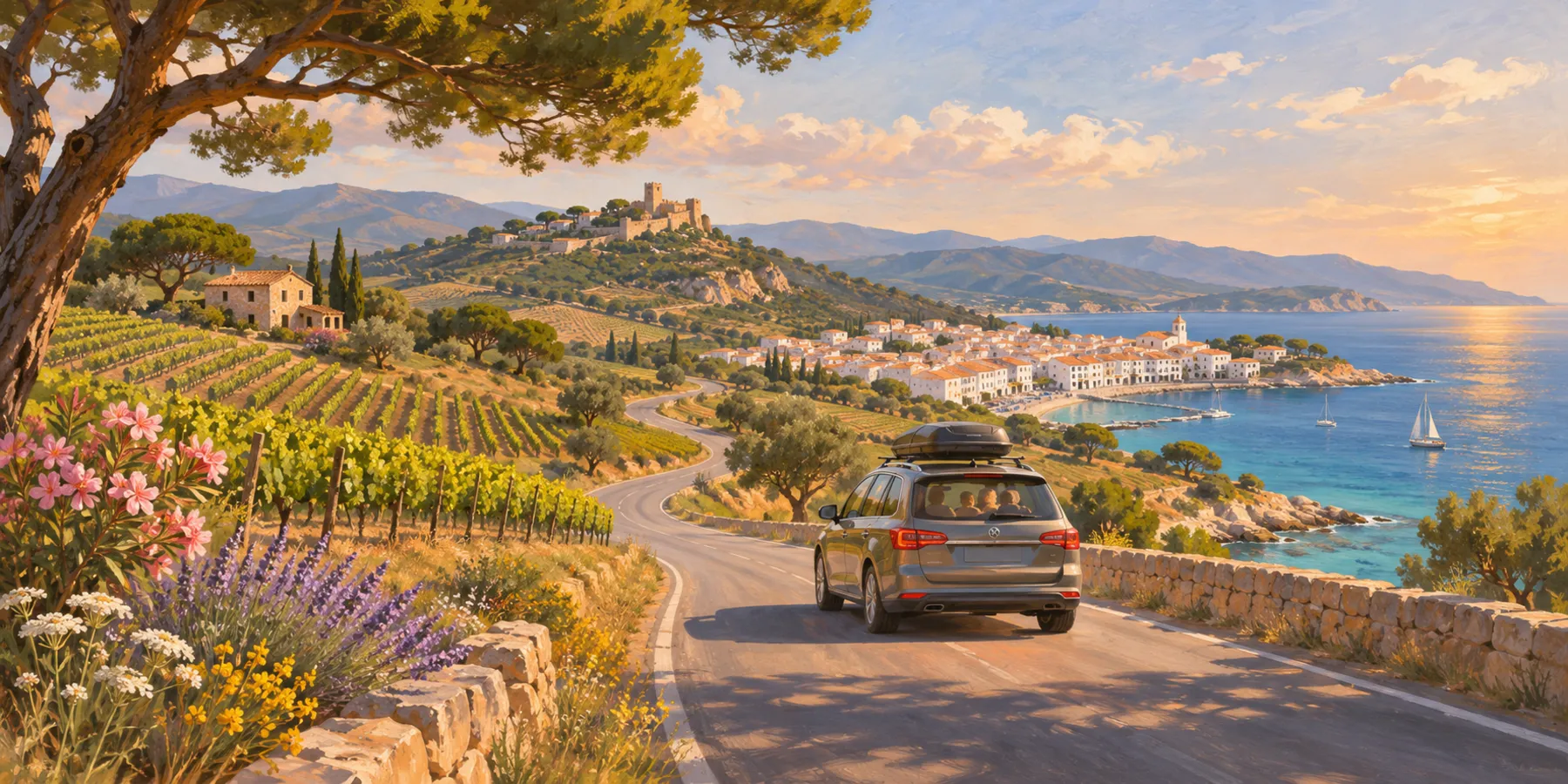
By car. This is the easiest way and the most rewarding, because the drive is half the point. From Punta del Este, follow the coast east on Ruta 10. You cross the Arroyo Maldonado on the Leonel Viera bridge, the wave-shaped concrete bridge opened in 1965 that everyone calls the puente ondulante, and enter La Barra. The road then runs through Manantiales, El Chorro and Balneario Buenos Aires before reaching José Ignacio. In January and the first half of February, the stretch through La Barra can crawl, especially late morning and around sunset. Parking in the village itself is informal on sandy streets: leave the car at the edge and walk in.
By bus. CODESA, the regional bus company, lists three lines with José Ignacio as a terminus: line 14 from Maldonado, line 35 from San Carlos and line 45 from El Chorro. None starts at Punta del Este, so you will usually need a connection, and frequencies thin out sharply after the summer season. Check the current timetable on the CODESA website before relying on a bus for the return.
By taxi, app ride or tour. A taxi or ride-hailing car works for the outward trip, but getting one back from José Ignacio in the evening can be slow and expensive in January. Agree a return time in advance. Half-day tours from Punta del Este also cover La Barra, Manantiales and the village, which suits anyone who would rather not drive.
The drive: La Barra and Manantiales
La Barra starts right after the bridge. In summer it is the busiest stretch of the coast after the Península, with galleries, design shops, beach clubs and late nightlife, and it is quiet for most of the rest of the year. Manantiales, a few kilometres further on, is known for surf on its open Atlantic beach, and in high summer its beach bars draw big crowds for sunset. Our La Barra and Manantiales guide covers both in more detail.
Past Manantiales the houses spread out and the landscape opens into dunes, grassland and the first of the coastal lagoons. If you are driving, it is worth stopping on the way back rather than on the way out, when you will want to reach José Ignacio before the lunch rush.
The lighthouse and the village
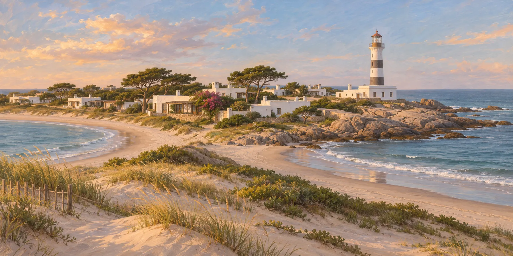
The Faro de José Ignacio stands on the point, with a focal height of about 32 metres. Local guides report that it opens for climbing in some seasons, typically daily in summer and at weekends in winter, but hours change and are not published centrally, so treat a climb as a bonus rather than the plan. Even from the base, the rocks around the point give a clear view of both beaches.
The village itself takes an hour to walk slowly. Most of what draws visitors is food: a few restaurants here are among the best known in Uruguay, and in January tables at the famous ones are booked days or weeks ahead. Prices are high by local standards. Outside the season many places close, open only at weekends or shorten their hours, so check before you drive out for a specific lunch.
Two beaches: Mansa and Brava
As in Punta del Este, the point divides the coast into a calm side and an exposed side, and the names are the same. Playa Mansa and Playa Brava mean the same thing here as at home.
Playa Mansa lies on the west side of the point, sheltered by it. The water is usually calmer, fishing boats are often pulled up on the sand, and it is the side to watch the sunset from.
Playa Brava faces east into the open Atlantic. It has stronger waves and is used by surfers. Currents can be strong on exposed Uruguayan beaches, so swim only where a lifeguard is on duty and follow the flags.
On a windy day, the simplest rule is to pick the beach with the wind at your back. Behind the village, the Laguna José Ignacio and, further east, the Laguna Garzón are worth a look for birdlife and wide, quiet views.
Further east: the Laguna Garzón bridge
About 8 km past the village, Ruta 10 crosses the mouth of Laguna Garzón on a circular bridge designed by the architect Rafael Viñoly. It opened to traffic at the end of December 2015, replacing a small raft that carried a couple of cars at a time, and links Maldonado with the department of Rocha. The road loops around a ring with a 51.5 metre radius, which forces drivers to slow down and turns the crossing into a viewpoint. Raised pedestrian walkways run along the outside of the barriers, so you can park nearby and walk the ring.
Beyond the bridge, the coast of Rocha is quieter still. For a day trip, the bridge makes a natural turning point.
Practical tips
- When to go. January and early February are lively and crowded. March, April and December are often the most pleasant months for a calm visit, with most places still open. In winter the village is very quiet. Our guide to the best time to visit Punta del Este explains the seasons.
- Book lunch. In high season, reserve a table before you set out. Off season, confirm the restaurant is open that day.
- Bring layers. The point is exposed and the wind can turn a warm afternoon cool quickly.
- Pay sensibly. Cards are widely accepted, but carry some cash for small purchases. See money in Uruguay for how card payments, IVA and tipping work.
- Drive back in daylight if you can. Ruta 10 is mostly a two-lane road, and stretches outside the towns are dark at night.
From our ocean-view apartment on Playa Mansa, José Ignacio makes an easy full day: leave after breakfast, have a long lunch in the village, walk the Laguna Garzón bridge and be back on the Mansa side by evening.
Frequently asked questions
How far is José Ignacio from Punta del Este?
About 30 km east along Ruta 10, at kilometre 183. By car it usually takes 40 minutes to an hour, more from the Mansa side and more in January traffic through La Barra.
Can I get to José Ignacio by bus?
Yes, but not directly from Punta del Este. CODESA lines 14, 35 and 45 run to José Ignacio from Maldonado, San Carlos and El Chorro. Services are much less frequent outside summer, so check the timetable for the return before you go.
Can you climb the José Ignacio lighthouse?
It has opened for climbing in some seasons, usually daily in summer and at weekends in winter, but hours change and are not published centrally. Ask locally on the day and treat it as a bonus.
Which beach in José Ignacio is better for swimming?
Playa Mansa, on the west side of the point, is usually calmer. Playa Brava faces the open Atlantic and has stronger waves. Swim where a lifeguard is on duty and follow the flags.
Is the Laguna Garzón bridge worth the detour?
Yes, if you have a car. It is about 8 km past the village on Ruta 10, the circular design by Rafael Viñoly is unusual, and pedestrian walkways let you walk the ring for views over the lagoon and the sea.
Sources and review notes
- José Ignacio (Uruguay), Wikipedia in Spanish , checked 2026-11-13
- Bridge over Laguna Garzón opened to traffic, Ministry of Transport and Public Works , checked 2026-11-13
- Leonel Viera Bridge, Wikipedia , checked 2026-11-13
- CODESA bus routes , checked 2026-11-13
Next editorial review: 13 May 2027