Neighborhoods
Where to Stay in Punta del Este: Every Zone Compared
The Península, Playa Mansa, Playa Brava, the inland neighbourhoods, La Barra and José Ignacio compared, with the parada system explained.
In this guide
The short answer
Punta del Este is not one compact town. It is a chain of quite different places along a long coastline, joined by the rambla and the coastal roads, and the right base depends on three questions: do you want calm water or surf, do you want to walk to dinner or sleep on a quiet street, and will you have a car?
If you want calm water for children, sunsets over the bay and an easy daily routine, the middle paradas of Playa Mansa are hard to beat. If you want to walk everywhere and can live with crowds in January, choose the Península. If nightlife, galleries and surf matter more than convenience, look at La Barra or Manantiales and plan to drive. José Ignacio is for a slower, more remote and more expensive stay.
How the parada system works
Locals give directions by parada, the numbered stops along the two main beaches. Both sequences start near the neck of the Península and count upward as you move away from it. The Mansa paradas run west along the bay toward Punta Ballena; the Brava paradas run east along the Atlantic toward La Barra.
That means there are two Parada 5s, two Parada 18s and so on, several kilometres apart. Always name the beach: "Parada 18 de la Mansa" and "Parada 18 de la Brava" are different places. Rental listings almost always quote a parada, and it is the quickest way to judge distance. Low numbers are close to Gorlero and the port, the teens and twenties are residential and beach-focused, and on the Mansa side the numbering keeps climbing through Pinares into the thirties and toward Punta del Chileno.
The Península
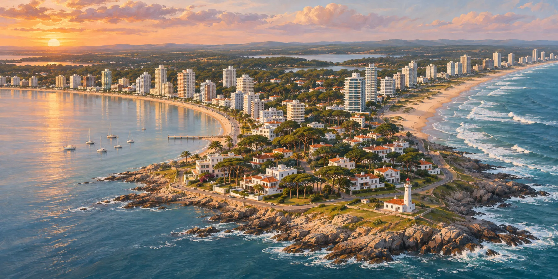
The Península is the original town: a compact grid of numbered streets with Avenida Gorlero, the port, the lighthouse and small beaches on both sides, all within walking distance. Near the lighthouse, building heights are restricted, so the tip still has houses and low buildings, while the towers start farther back.
It suits a short first visit, people without a car and anyone who likes to walk out for coffee and dinner. The trade-offs are summer crowds, traffic and parking, and late-night noise around Gorlero in peak weeks. Our Península and Gorlero guide covers it in detail.
Playa Mansa: the low paradas versus Parada 10 to 20
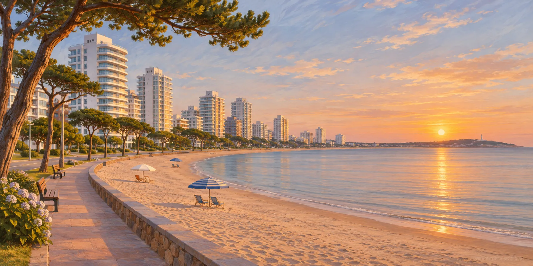
Playa Mansa faces the Bay of Maldonado, which shelters it from the open Atlantic. The water is usually calmer, the slope is gentle and the sun sets over the bay toward Punta Ballena.
The low paradas (roughly 1 to 5) sit close to the Península. Here you find the Club de Pesca pier and the Paseo Mailhos boardwalk around Parada 3, and the large hotel and casino at Parada 4. Towers line the rambla and you can walk to Gorlero, but the strip is busier and traffic is heavier.
Between about Parada 10 and Parada 20 the Mansa becomes more residential. Apartment buildings face the rambla a block or two from the sand, and Avenida Roosevelt, a few blocks inland, carries the supermarkets, pharmacies and Punta Shopping. Parada 12 has a water park, and Parada 16 has a wooden walkway with benches for watching the sunset. This is where many families settle for a week or two, because the beach, the shops and the Península are all close by car or bus, and the evenings are quieter. Our ocean-view apartment on Playa Mansa is at Parada 18, one block from the sand. See the full Playa Mansa guide.
Playa Brava and San Rafael
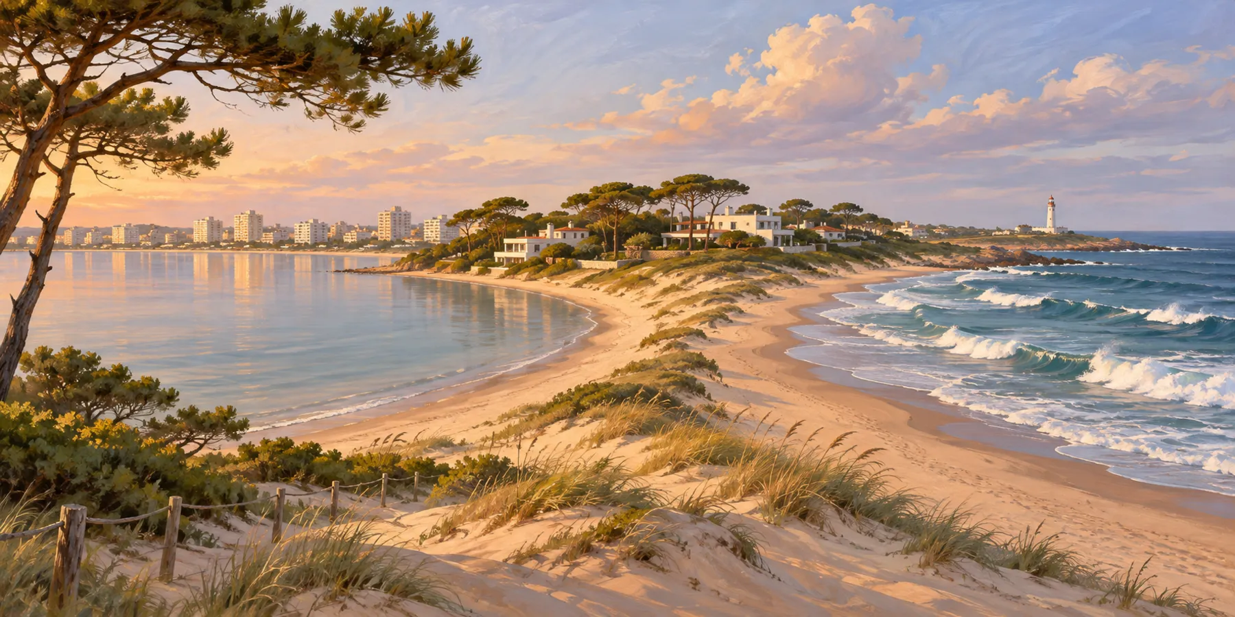
Playa Brava is the Atlantic side: open water, steady swell, stronger wind and coarser sand. It starts at Parada 1 with Los Dedos, the hand sculpture, and runs east to the Arroyo Maldonado at La Barra. Staying on the Brava means sunrise over the ocean, surf breaks within walking distance and a beach that empties out quickly once you leave the busy stretches.
San Rafael is the established residential area on the Brava side, with large houses, gardens and quieter streets. It is pleasant for a group renting a house with a car, less so if you want to walk to restaurants. For the water itself, read Playa Mansa vs Playa Brava.
Roosevelt, Aidy Grill, Cantegril and Beverly Hills
Between the two beaches lies an inland belt of residential neighbourhoods. Avenida Roosevelt is its commercial spine, with the shopping centre, supermarkets and the entrance to the Cantegril Country Club. Aidy Grill is a leafy neighbourhood of houses close to the Península by car. Cantegril spreads around its country club among pines, and Beverly Hills, farther out, is quieter still, with larger plots and gardens.
These areas suit families who want a house with a garden and a pool, and who will drive to the beach. Without a car they can feel isolated, and much of the summer stock is rented by local agencies by the fortnight or the month.
Pinares and Punta Ballena
West of the middle Mansa, Pinares is a pine-wooded residential area with the beach still a short walk away and fewer towers. Beyond it, near Parada 40 of the Mansa, is the Laguna del Diario, and then the rocky headland of Punta Ballena, about 13 kilometres from the Península, where Carlos Páez Vilaró's Casapueblo watches the sunset over the water.
Both are calm and green, closer to the airport at Laguna del Sauce, and good for repeat visitors. Daily life needs a car.
La Barra, Manantiales and José Ignacio
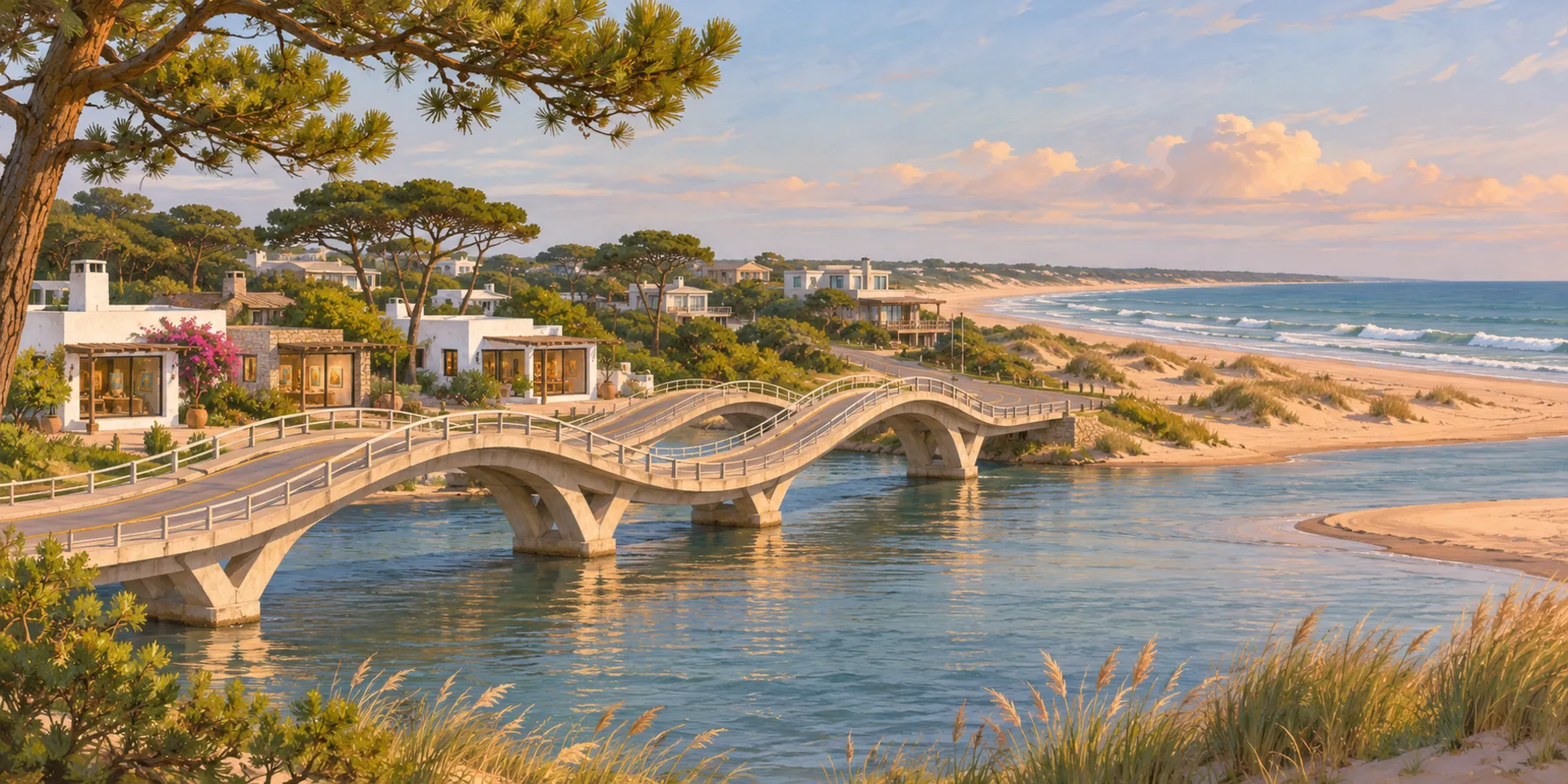
East of the Brava, the wavy Leonel Viera bridge crosses into La Barra: galleries, shops, beach clubs and the area's busiest nightlife. Manantiales, roughly halfway between Punta del Este and José Ignacio, is low-rise and surf-oriented, centred on Bikini beach. José Ignacio, a former fishing village with a lighthouse about 40 kilometres from the Península, is the most exclusive and the most remote. All three need a car for daily life. Read the La Barra and Manantiales guide.
Season, minimum stays and getting around
The busiest weeks are usually from late December through January, when Argentine families arrive in large numbers, followed by Uruguayans and Brazilians. February is still summer but somewhat calmer, and from March many seasonal businesses shorten their hours. Traditional local agencies rent by the fortnight (quincena) or by the month in high season, so short stays can be hard to find in the best weeks. Our apartment takes stays from three nights.
Local buses run along the main avenues and the coast, and taxis are available, but in summer a car widens your choice of zones considerably. If you will not drive, choose the Península or the middle Mansa, where most daily errands are within walking distance or a short ride.
Frequently asked questions
What is the best area to stay in Punta del Este for families?
The middle paradas of Playa Mansa, roughly Parada 10 to 20, combine calm bay water, apartment buildings close to the sand and supermarkets and pharmacies along nearby Avenida Roosevelt.
What does "parada" mean in Punta del Este?
A parada is a numbered stop along the beach. Both Playa Mansa and Playa Brava count upward from the Península, so always say which beach you mean.
Can I stay in Punta del Este without a car?
Yes, if you choose the Península or the middle Mansa, where shops and the beach are close and buses and taxis cover the rest. La Barra, Manantiales, José Ignacio and the inland neighbourhoods are much easier with a car.
Is La Barra part of Punta del Este?
It is part of the wider Punta del Este area, across the Arroyo Maldonado on the Leonel Viera bridge, east of the end of Playa Brava.
When is high season in Punta del Este?
Usually from late December through February, with the busiest weeks in early and mid January. Many agencies rent by the fortnight or month in that period.
Sources and review notes
- Paradas Playa Mansa (InfoCasas) , checked 2026-11-13
- Playa Brava, Los Dedos (InfoCasas) , checked 2026-11-13
- La península de Punta del Este: el puerto, Gorlero y Los Dedos (El Observador) , checked 2026-11-13
- Casapueblo (Wikipedia) , checked 2026-11-13
- Manantiales community guide (Real Estate in Uruguay) , checked 2026-11-13
Next editorial review: 13 May 2027