Neighborhoods
Playa Mansa, Punta del Este: A Local Guide to the Calm Side
How the Mansa paradas work, why the bay water is calmer, where to watch the sunset and what daily life looks like around the middle paradas.
In this guide
The short version
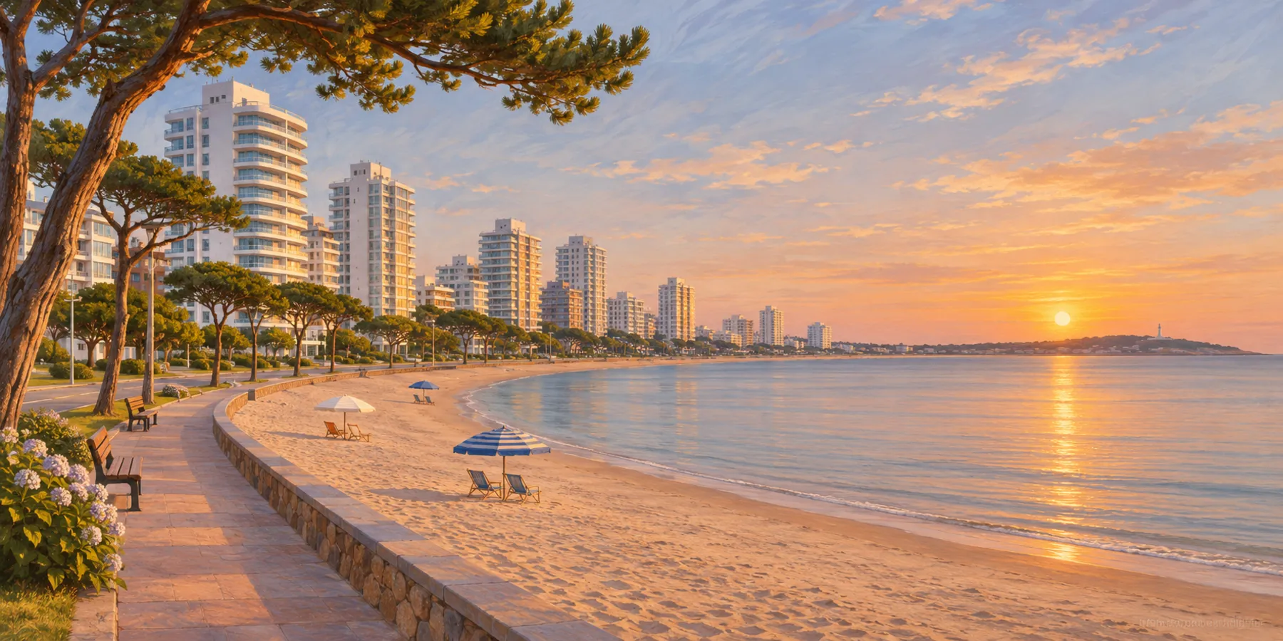
Playa Mansa is the long beach on the bay side of Punta del Este, running west from the Península toward Punta Ballena. Its name means "the tame beach", and compared with Playa Brava across the neck of the Península it mostly is: smaller waves, a gentle slope and a long rambla for walking, running and cycling.
It is the natural choice for families with young children, for people who like to swim rather than surf and for anyone who wants a sunset over the water every clear evening. The middle paradas, roughly 10 to 20, combine a residential feel with supermarkets and pharmacies a few blocks inland.
Reading the paradas
The beach is organised by numbered paradas that count upward from the Península. Parada 1 is beside the Península, and the numbers rise as you head west. A few reference points help:
- Parada 1 to 3: the end closest to the Península. The Club de Pesca pier and the Paseo Mailhos boardwalk are near Parada 3, and you can walk to Gorlero from here.
- Parada 4 and 5: the large hotel and casino at Parada 4, and a busy beach bar area around Parada 5.
- Parada 7 to 10: often windier, popular with sailing and water sports, with a ramp for small boats around Parada 10.
- Parada 12 to 18: residential towers along the rambla, a water park at Parada 12 and a wooden walkway with benches for the sunset at Parada 16.
- Parada 20 to 24 and beyond: the Las Delicias area around Parada 24, then Pinares and the quieter, greener stretch toward Punta Ballena.
The numbering on Playa Brava also starts at 1 near the Península, so always say "de la Mansa" when giving an address. Our where-to-stay guide explains the system across the whole area.
The water and the wind
The Mansa faces the Bay of Maldonado, with Isla Gorriti offshore, so it is sheltered from most of the Atlantic swell that hits the Brava. On a typical summer day the water is calm enough for children to paddle near the shore and for adults to swim parallel to the beach.
Calm is not the same as still. Wind from the south and southwest can raise a short chop, especially around the middle paradas, and some stretches are noticeably breezier than others. Lifeguard posts operate in season, and the flags apply here as on any beach: green for calm water, yellow for caution, red for no swimming. Check the flag at your parada before going in, and swim near a staffed post.
Sunsets toward Punta Ballena
Because the Mansa faces west across the bay, the sun drops toward Punta Ballena in the evening. On clear days, people gather on the sand and along the rambla in the last half hour of light, and the walkway at Parada 16 is built for exactly that.
For a different angle, drive about 13 kilometres west to Casapueblo on the Punta Ballena headland, where a recording of Carlos Páez Vilaró's voice bids farewell to the sun each evening on the terraces. From the Mansa you see the same sunset from the beach side, with the headland in silhouette.
The rambla
The rambla runs along the Mansa from the Península westward, with the beach on one side and apartment buildings on the other. In the morning it fills with walkers, runners and cyclists, and in the evening with families heading to the sand for the sunset. The Paseo Mailhos boardwalk near the low paradas is the most pleasant stretch for an unhurried walk toward the port.
It is also how most people get around without a car: walk the rambla toward the Península, or take a bus along the parallel avenues. Distances are longer than they look on a map, so check the parada numbers before setting out on foot with children.
A beach for families
Families choose the Mansa for practical reasons. The water is usually manageable for children, the sand is fine and wide, and in season there are lifeguards, beach bars with shade and toilets at several paradas. The water park near Parada 12 and seasonal inflatables in the sea near Parada 11 are useful on long summer afternoons.
Bring shade and water: there are few natural trees on the sand, and the summer sun is strong. Arrive early in January if you want space near a lifeguard post, and leave the car at home if you can, because parking along the rambla fills quickly.
Everyday life around the middle paradas
The middle paradas work well for a stay of more than a few days because daily errands are close. Avenida Roosevelt, a few blocks inland, has Punta Shopping, supermarkets, pharmacies and the entrance to the Cantegril Country Club. Bakeries, small shops and takeaway places sit along the avenues between the rambla and Roosevelt.
From Parada 18, the Península and the port are a short drive or bus ride east, the Brava is a few minutes across, and Punta Ballena and the airport at Laguna del Sauce are to the west. Our three-bedroom apartment at Parada 18 has ocean views from the living room and balcony and a balcony grill for evenings in, a block from the sand.
When to go
The Mansa is busiest from late December through January, when Argentine families arrive in large numbers. February is calmer and still warm, and March often brings settled days with far fewer people. In winter the rambla stays in use for walking, but many beach bars close and the water is cold. Many local agencies rent by the fortnight or month in high season, so book early if you want a short stay in January.
Frequently asked questions
Is Playa Mansa good for children?
Usually yes. It faces the sheltered Bay of Maldonado, so the waves are smaller than on Playa Brava, but wind can raise a chop. Check the lifeguard flag and swim near a staffed post.
Where does Playa Mansa start and end?
It starts at the Península at Parada 1 and runs west along the bay. The numbering continues past Las Delicias around Parada 24 into Pinares and toward Punta Ballena.
Where is the best place to watch the sunset on Playa Mansa?
Anywhere along the sand or the rambla on a clear evening. The wooden walkway at Parada 16 has benches built for it, and Casapueblo at Punta Ballena offers a view from the headland.
Are there supermarkets near the middle paradas?
Yes. Avenida Roosevelt, a few blocks inland, has supermarkets, pharmacies and Punta Shopping, so a stay around Parada 10 to 20 needs few long trips.
Sources and review notes
- Paradas Playa Mansa (InfoCasas) , checked 2026-11-13
- Guardavidas responden dudas para un baño seguro (El Observador) , checked 2026-11-13
- Casapueblo (Wikipedia) , checked 2026-11-13
Next editorial review: 13 May 2027